Explore

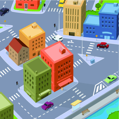
Maps are very helpful in locating specific places. Maps use coordinates to help people locate where they are and the place they would like to go. Notice the city blocks in the picture. The block takes up a certain amount of area of the city. Then the streets surround the block so people can drive from one place to another. In this lesson we will focus on area (the square units covering a figure) and perimeter (the distance around a figure).
Use the CCSS IP Math Example 2 to see how you can find the perimeter of any quadrilateral on a coordinate plane!
At the end of this lesson, student will be able to:
|

 Explore