The Geography of France
As you can see on the map, France is shaped like a hexagon, which is a six-sided figure. At its widest points, it is approximately 600 miles wide and 600 miles long. It is about the same size as the state of Texas.
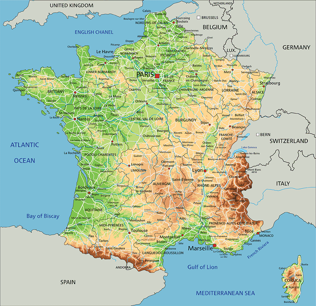
Three sides face water:
- Mediterranean Sea (southeast)
- Atlantic Ocean (west)
- English Channel (northwest)
Three sides face land:
- Spain
- Italy / Switzerland / part of Germany
- Germany / Luxembourg / Belgium
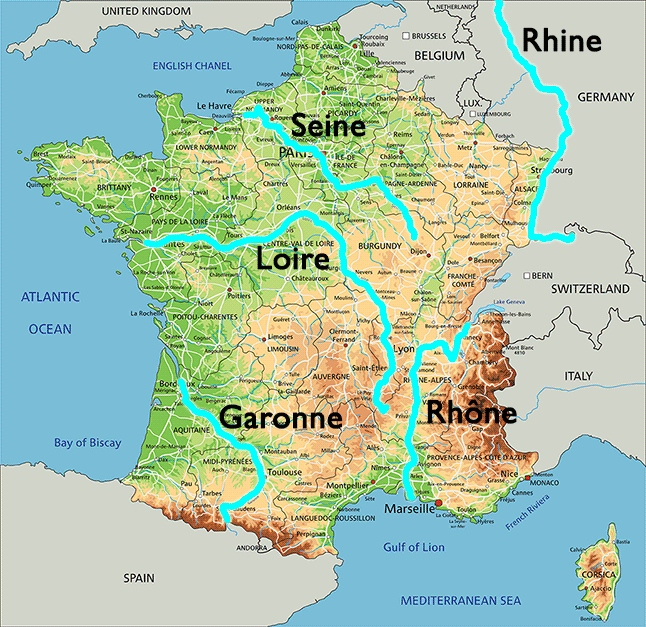
There are five major rivers in France:
- Garonne
- Loire
- Rhône
- Rhine
- Seine
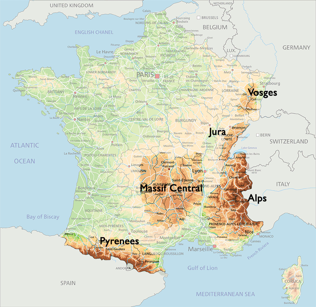
France also has five mountain ranges:
- Alps
- Jura
- Massif Central
- Pyrenees
- Vosges
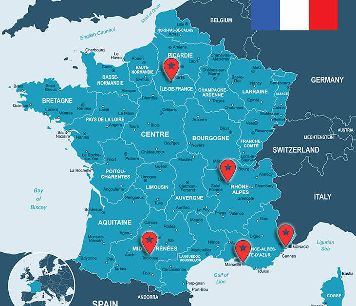
The Regions of France
This map illustrates that the country of France has been divided into 22 regions.

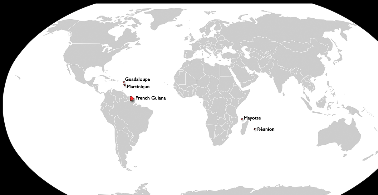
There are also five regions overseas:
- French Guiana
- Guadeloupe
- Martinique
- Mayotte
- Réunion
Each region is made up of various cities, and the five of the major cities in metropolitan France include:
- Paris, which is the capital city
- Marseille
- Lyon
- Toulouse
- Nice