Learn
Recovery
Watch Discovery Alabama: Recovery. You will need the information in this video to complete 1.05 Recovery.
Open Discovery Alabama: Recovery in a new tab
The South's Second Forest
By the 1930s, most of the forests in Alabama and the South were in a degraded state.
Vast acres had been cut over with little thought to the future. Usually lumber men had "cut the best and left the rest," leaving behind poorly stocked stands of inferior genetic quality and a scarred and rutted land.
The South's Second Forest was born in the 20s and 30s because of a cultural shift in management of the land.
The South's Third Forest
One of the key factors leading to the return of the South's forests was a slow cultural shift resulting in the recognition that our forest resources were not boundless and could be enhanced if managed or lost if abused.
Understanding the distinct physical characteristics and approaching the management of land with a more scientific approach was key to forest management. This scientific approach began to take hold in the 1950s and 1960s.
This gave rise to what is known as the South's Third Forest. The harvested areas were replanted more frequently, particularly if they were owned by the lumber industry.
Physiographic regions
Understanding the land regions of Alabama as well as working with federal, state, and industrial partners in understanding the distinct ecosystems was part of developing strategic plans in forest management and reforestation.
There are five basic physiographic regions support Alabama's varied forest ecosystems:
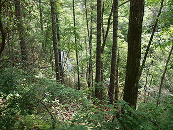
- Plateau is found in the northern part of Alabama and contains extremely diverse forest types. It is composed fo limestone vallyes and uplands with rolling hills. Fertile sites in this region are often used for agriculture production.
- Ridge and Valley is actually the foothills of Appalachian Mountains and is found in northeast region of Alabama extending to central counties. It is composed of steep ridges with little to no soil with low productivity and highly fertile alluvial soild in valleys. Soils are typically alkaline and fertile being formed from limestone in many areas.
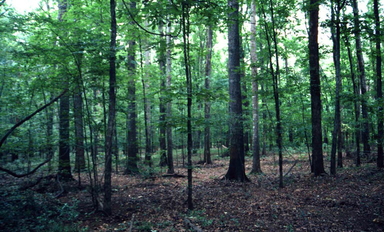
- Piedmont contains gently rolling to steep topography with soils derived from granite, hornblende, and mica. Much of the region was cleared for agriculture in 1800s and contains highly erodible soils which are fairly productive and acidic and are high in nutrients with adequate water-holding capacity.
- Upper Coastal Plain is characterized by deep, well-drained soils with low natural fertility. Soils support good tree growth but they compare poorly with more fertile soil types.
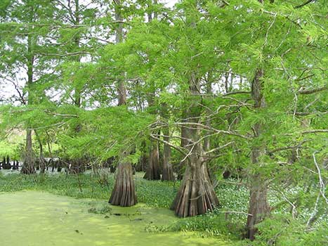
- Lower Coastal Plain makes up most of the southern portion of Alabama. This region supports a diversity of species.
Physiographic regions and natural disturbances create forest diversity across Alabama and provide a variety of ecological benefits including clean air, clean water, aesthetics, recreation, and timber product.

Forest Types
Alabama has five major forest types:
- oak-hickory
- oak-pine
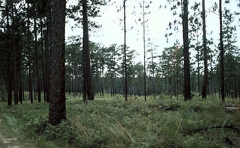
- loblolly-shortleaf pine
- longleaf-slash pine
- oak-gum-cypress


Sustainability
The international movement toward sustainability has affected the forestry industry in Alabama and the South.
The Alabama Forestry Foundation tells us that this movement has resulted in a move toward forest certification. Certification ensures that forest products are harvested from sustainably managed forests. The international forest products market place increasingly demands that wood products come from certified forests.
Alabama has several certification programs available to forest owners. Forest management programs include Tree Farm and the Alabama TREASURE Forest Program. Newer programs, such as the Sustainable Forestry Initiative, the Forest Stewardship Council, and the Program for the Endorsement of Forest Certification, are internationally recognized.